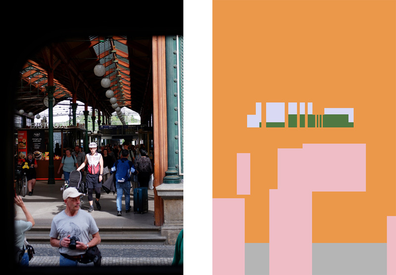
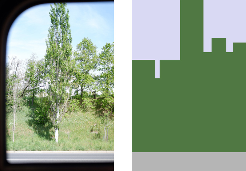
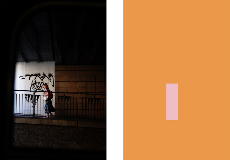
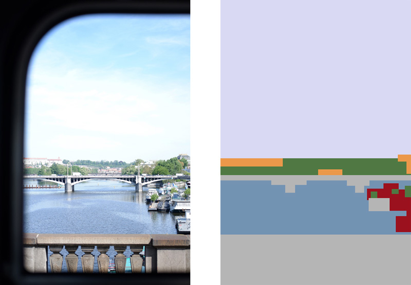
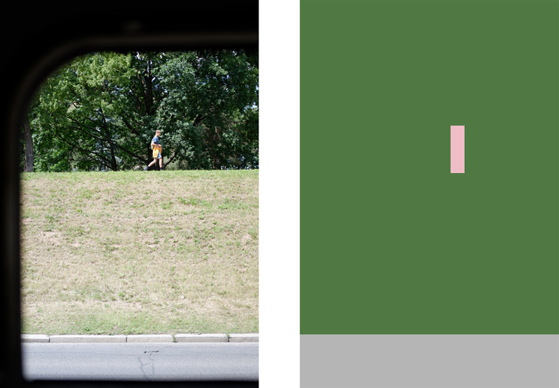
This project is a graphic representation of the specific urban morphology of Prague. It is a continuation of my project Rhizome which was a documentation of Prague landscape. By taking a photo between each station of the tram network, Rhizome aimed to give a global vision of the amazing morphological diversity of the city.
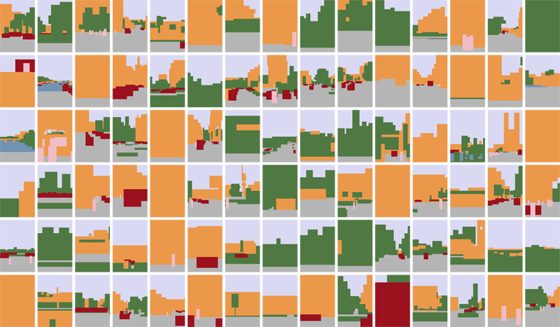
Here, the idea with this new project was to go beyond the documentation in order to bring more material, in this case more data. This project provides a global vision of the morphology and questioning our relationship to the urban, by analyzing the city panorama and hierarchizing the level of density between the 7 main elements of the city wich as the specificity to be one of the greenest capital in Europe.
Thus, the original photos from Rhizome were used and transformed in postproduction in order to collect their data. For this, each photo have been simply cut out in order to distinguish the different categories. Once this done, the areas representing the different categories are filled with their respective colours and result on a graphic image.
After that, each area of each category of each graphic image was calculated on a postproduction software. Once all the numbers obtained, a global percentage was calculated to define the morphological constitution of the city of Prague:
- Building (orange): 33%
- Vegetation (green): 23%
- Sky: (light blue): 22%
- Street (gray): 17%
- Transportation (red): 3%
- Water (blue): 1%
- People (pink): 1%